Indonesia- Indonesia’s Meteorology, Climatology, and Geophysics Agency (BMKG) has warned of possible tsunami waves of up to three meters following a powerful magnitude 7.7 earthquake that struck offshore near Nagekeo District in East Nusa Tenggara Province on Saturday morning.
According to BMKG, the earthquake occurred at 4:58 a.m. Western Indonesia Time (WIB) at a depth of approximately 15 kilometers. The epicenter was located offshore, around 30 kilometers northeast of Nagekeo District. Because of the earthquake’s strength, shallow depth and offshore location, authorities immediately assessed the possibility of tsunami waves affecting several coastal areas.
Wijayanto, director of BMKG’s Earthquake and Tsunami Center, said in Jakarta on Saturday morning that tsunami modeling indicated the earthquake had the potential to generate waves in parts of East Nusa Tenggara, South Sulawesi and West Nusa Tenggara.
Following the assessment, BMKG issued a tsunami alert for several areas. The agency warned that waves between 0.5 and three meters could affect northern Manggarai, northern Ngada, Ende and East Flores in East Nusa Tenggara. Jeneponto in South Sulawesi was also included in the higher-level tsunami alert.
Meanwhile, areas including Bima and Dompu in West Nusa Tenggara, Wajo in South Sulawesi and parts of East Flores were placed under an alert for tsunami waves of less than 0.5 meter.
BMKG estimated that the first tsunami waves could reach affected coastal areas between 5:02 a.m. and 6:01 a.m. local time. The exact arrival time was expected to vary depending on the location and distance from the earthquake’s epicenter.
The agency issued its first tsunami warning at 5:00 a.m., just two minutes and 16 seconds after the earthquake occurred. A second warning was issued at 5:09 a.m. as authorities continued to monitor seismic activity and assess the potential tsunami threat.
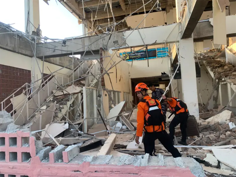
The earthquake also caused strong ground shaking in several locations. The strongest shaking was measured at Level VII on the Modified Mercalli Intensity (MMI) scale in Aesesa in Nagekeo, Riung in Ngada and Mbay. The intensity was strong enough to cause residents to flee their homes and reportedly resulted in minor damage to some buildings.
Authorities urged residents in potentially affected coastal areas to remain alert and follow official instructions. People living near the shoreline were advised to move to safer locations if instructed by local authorities and to avoid returning to coastal areas until the tsunami threat had been officially lifted.
BMKG continued monitoring the situation after the earthquake, including possible changes in seismic activity and sea levels. The agency emphasized the importance of relying on official information as authorities assessed the full impact of the earthquake and the possibility of further tsunami activity.