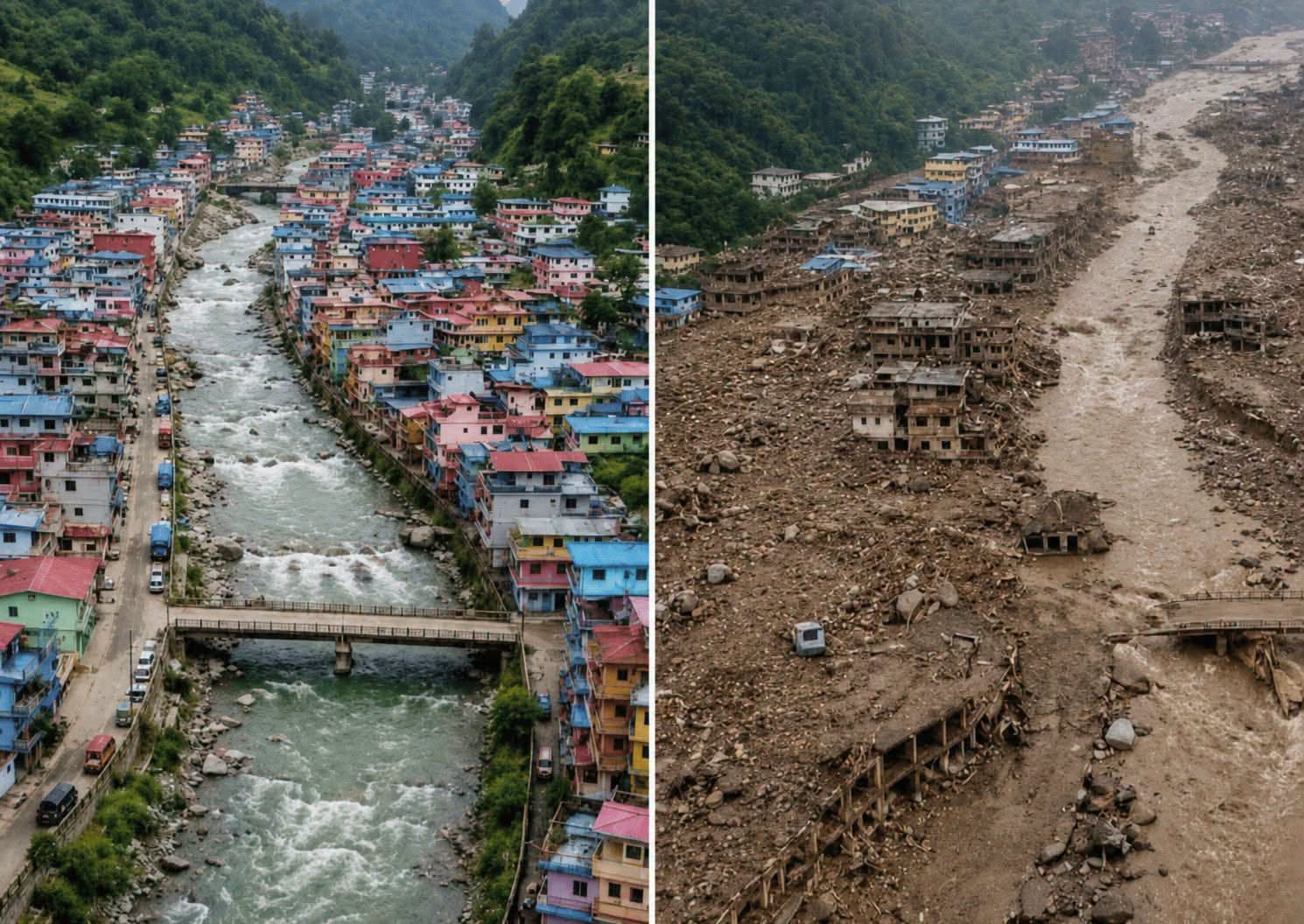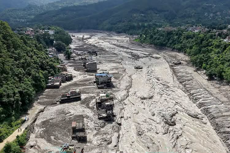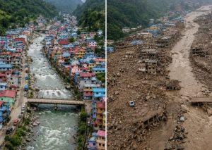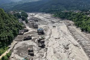
Kathmandu, 28 August: A huge avalanche in the northern section of Langtang Himal has created a large lake at the foot of the mountain, according to reports.
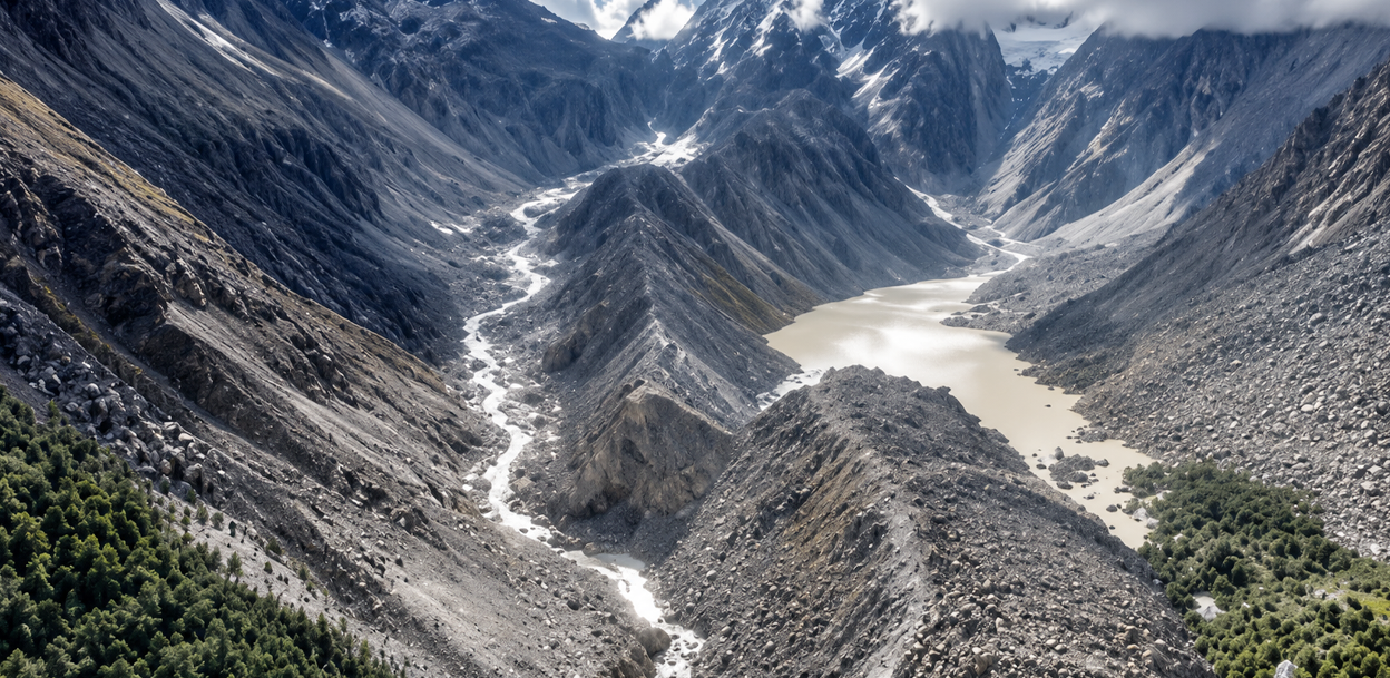
Chinese media outlets, as well as experts who have analyzed satellite imagery, have concluded that a lake has formed at the confluence of two small mountain streams.
According to a report by China’s Global Times, citing the Chinese Ministry of Water Resources, water has accumulated at the base of the Chhochen stream and Purepu Glacier, forming a lake. Both water sources flow into the Lhende River, which joins the Kerung River at Rasuwagadhi.
By Thursday, around 2 million cubic meters of water had reportedly accumulated in the depression, and water had begun flowing out of the lake. Chinese state television channels have warned that the lake’s natural dam could burst, saying that another 1 million cubic meters could accumulate over the next two or three days, bringing the total volume to around 3 million cubic meters.
Nepal’s National Disaster Risk Reduction and Management Authority (NDRRMA) issued a notice on Thursday afternoon warning that the risk had increased again in areas along the Bhotekoshi River.
According to the authority, satellite images from Planet Labs and Landsat show that the newly formed lake is expanding.
The authority said that the flow of the Lhende River has been obstructed and a lake has formed about 18 kilometers north of the Rasuwagadhi border crossing. The lake currently covers an area of approximately 0.11 square kilometers.
The authority stated, “As there is still a risk that the natural dam of the lake could burst and cause another major flood, residents in downstream areas and all concerned are requested to remain alert and exercise extreme caution.”
Professor Ranjan Kumar Dahal of the Central Department of Geology at Tribhuvan University said the expansion of the lake since Wednesday has raised fears of another flood.
However, he said the lake is relatively small, so the likelihood of a flood as large as the one that occurred on Wednesday morning is low.
“If the lake bursts, the flood coming from there will not be like Wednesday’s flood,” Dahal said.
Binod Parajuli, chief of the Flood Forecasting Section under the Ministry of Energy, Water Resources and Irrigation, said the Chinese side had informed Nepal that water was accumulating in the upper section of the Lhende River, forming a lake whose size was increasing.
“The Chinese side appears to be closely monitoring the area, and they may have issued the warning that it could burst once the lake fills up based on certain assessments,” water resources engineer Parajuli told Onlinekhabar. “That is why we have urged people in the affected areas to remain alert.”
Parajuli said people living in flood-affected areas along the Bhotekoshi and Trishuli rivers should remain cautious, but there was no need to panic.
“The amount of water currently accumulated in the lake is only about 10 percent of the volume of yesterday’s flood. Even if all of it flows downstream, it does not appear capable of causing greater damage than yesterday’s flood,” Parajuli said. “However, this does not mean rescue workers can enter the riverside areas without concern. That is why we have urged everyone to remain vigilant.”
On Wednesday morning, a glacier or glacial mass located in the northern part of Langtang Himal suddenly collapsed and fell downhill.
According to water resources expert Santosh Nepal, a mixture of ice, snow and rocks is estimated to have fallen from an elevation of around 5,500 meters, creating a large depression in the area below, experts believe.
“It appears that a mass of snow and ice fell from an elevation of around 5,000 meters to about 3,000 meters,” Nepal said. “Because it swept down from such a great height, we estimate that it generated enormous energy.”
Experts believe that the falling mass of snow and ice may have transformed into a flood as it moved downhill, eventually creating a lake at the site where it came to rest.
A Chinese team has been conducting continuous drone surveillance of the potential source area of the Bhotekoshi flood since Thursday.
Climate expert Ujwal Upadhyay said the risk has increased because floods carrying snow, ice and muddy sediment continue to flow down from the area.
Upadhyay, who is also a visiting faculty member at Kathmandu University, wrote that more than 20 cubic meters of water had already accumulated in the natural reservoir and that the water level was continuing to rise, increasing the risk of sudden water discharge and further cascading disasters.
According to Tribhuvan University professor Ranjan Dahal, the Lhende River itself forms part of the Nepal-China border, and the lake is developing right beside it. He said the possibility of the Nepal government conducting an aerial study of the area by helicopter is currently very low.
The Chinese team, meanwhile, has been continuously monitoring the landslide and the lake formed afterward by flying drones close to the site.
Dahal said, “It is based on the information provided by the Chinese team that we have learned more about the situation and warned that the lake is expanding and could pose another risk.”