Kathmandu, 22 Aug: The three villages included in the recent map, Gunji, Navi and Kuti, have been included under the rule of the Nepal government until 1978. Kalapani, Lipulek and Limpiyadhura are included in the recent map of Nepal. Below Limpiyadhura are the villages of Gunji, Navi and Kuti, the residents of which have been found to have been paying crops to the Nepal government until 1978.
Evidence has been found that the residents of Gunji, Nabi, and Kuti—villages included within the updated map of 2077 BS (2020 AD)—had been paying land tax to the Government of Nepal until 2035 BS (1978/79 AD). In 2035 BS, the government recorded and safeguarded receipts showing that Ratan Budha (Tinker), Panchyaura Budha (Budi), Mohan Singh Budha (Gabryang), Hari Singh Budha (Gunji), and Hari Krishna Budha (Nabi) had paid their land tax.
Not only that, the Department of Survey has also preserved the records of the landholdings of the residents of Gunji, Nabi, and Kuti. When Dwarikanath Dhungel was serving as Chief District Officer of Darchula, he visited Gunji in Shrawan 2038 BS (July/August 1981) while returning from Kalapani to Darchula. At that time, he also held conversations with the locals, during which the residents of Gunji told him that they possessed Nepali citizenship. “In 2038 BS, while returning from Kalapani, I reached Gunji. I spoke with a few individuals there,” he recalled.
According to sources at the Department of Survey, the details of land owned by the residents of Gunji, Nabi, and Kuti were then recorded in Form No. 7 of the Land Reform Office. Those records are still safely preserved with the Department.
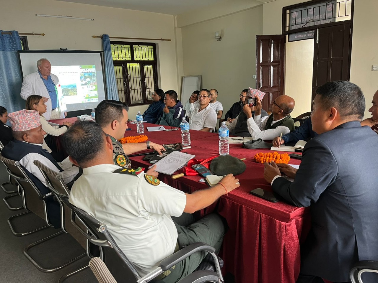
The Ministry of Land Management has stated that before preparing the updated map that includes Kalapani, Lipulek, and Limpiyadhura, it had collected more than a dozen facts and pieces of evidence. In this process, more than 132 maps were gathered, according to ministry sources.
The government also holds a directive issued by Prime Minister Chandra Shamsher Rana, in which it is clearly mentioned that Kalapani, Lipulek, and Limpiyadhura belong to Nepal. The directive, issued to resolve a dispute between two villages in the area, reads: “Live and use the land together, pay taxes regularly, for you both are my subjects.”
The first and most important basis prepared by the government is the Sugauli Treaty of March 4, 1816. On behalf of the Government of Nepal, Rajguru Gajaraj Mishra and Chandra Shekhar Upadhyaya signed the treaty, which was handed over to Lieutenant Colonel Paris Bradshaw on behalf of the East India Company.
The treaty stated that the Kali River in the west and the Mechi River in the east would serve as Nepal’s boundaries. Nine months after this treaty, a supplementary treaty was signed. The Ministry has considered this supplementary treaty as the second piece of evidence.
The 1816 treaty had not included the flatlands stretching from the Koshi River in the east to the Rapti River in the west. Since Nepal wanted to reclaim that territory, a supplementary treaty was signed on December 8, 1816. In a letter sent on that date, the British government confirmed that the flatlands from Koshi to Rapti were returned to Nepal. On this basis, Nepal’s western boundary was delineated up to Limpiyadhura, and a map was prepared accordingly. Nepal considers this map its strongest and most important evidence.
Later, another treaty was signed with the British government on November 1, 1860. Representing Nepal was Prime Minister Jung Bahadur Rana, and representing the British government was Lieutenant General George Ramsay. In this treaty, Banke, Bardiya, Kailali, and Kanchanpur were returned to Nepal. At that time, a map was also prepared, which again showed Nepal’s western boundary as extending up to Limpiyadhura.
On January 7, 1875, the British government demarcated Dang’s boundary and prepared another map of Nepal, which also depicted Limpiyadhura as Nepal’s western border. Nepal has accepted this as further evidence.
Similarly, Nepal has preserved other proofs confirming that Kalapani, Lipulek, and Limpiyadhura belong to Nepal, including the 2015 BS (1958 AD) voter list and the 2018 BS (1961 AD) national census records.